A city worth exploring
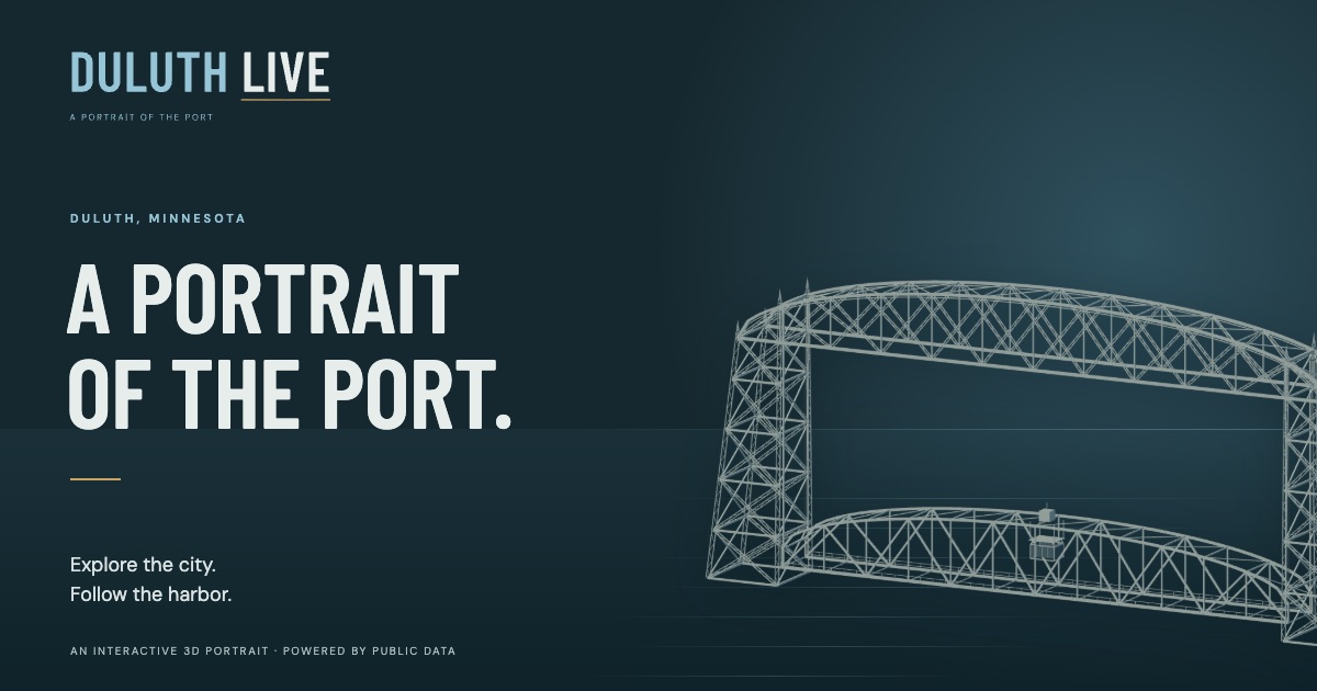
I built Duluth Live as an independent, public-interest creative project. It brings local geography, interface design, and authentic public data together in an interactive 3D portrait of Duluth, Minnesota.
Explore from the Aerial Lift Bridge to the hillside. Start with the city itself, then turn on the transit, traffic, or weather layers you want to see. Sources and timestamps help explain what each observation represents.
Key features
- Original procedural models. The Lift Bridge and buses are built from code, giving the map its own visual character.
- A responsive map interface. Explore the city on a phone or a larger screen. Temporary map search lets you find a place during your visit.
- Day, dusk, and night lighting. Different lighting gives the harbor and hillside a changing atmosphere.
- Opt-in public-data layers. Follow DTA bus and AIS vessel reports, view street congestion estimates, and check harbor and weather observations. Each layer makes its sources and report times clear.
What the data can tell you
Bus positions come from reports. Movement shown between those reports is estimated, rather than a continuous observation of a vehicle's location. Traffic shows congestion estimates, not measured vehicle counts.
Weather comes from specific reporting stations. Check the named station and timestamp for an observation; it does not describe conditions everywhere in the city.
Ship markers stay at reported AIS positions, with receipt times and source attribution. Coverage can be incomplete. Reports older than 15 minutes are hidden, and movement is not predicted.
Duluth Live is my independent project. It is not an official City of Duluth or DTA product.
Technical approach
React and TypeScript provide the interface, with Vite for development and builds. Mapbox GL JS provides the interactive map, Three.js provides the procedural 3D models, and Cloudflare Workers support the application.
Geography, models, and public data
The map brings the city and original models into one view, with controls for search, lighting, and optional data layers. The procedural bridge and buses connect the technical work to recognizable parts of Duluth.
The interface distinguishes source reports from estimates. Clear attribution and timestamps are part of the design, so visitors can judge the information alongside the scene.
Have an application idea?
Start with a free 30-minute conversation. We can talk through the problem, the people who would use it, and what a useful first version could do.
Discuss a project